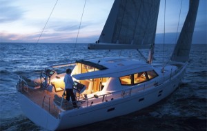
I have never seen anything quite like it. Day after day crowds flocked to the Moody stand at Düsseldorf as if this were some sort of religious icon. At the…
Yachting World
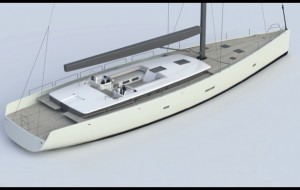
Brenta 80DC – this new 80ft carbon cruiser is a clever concept by the former owner of Hanse Yachts
Big names may draw the crowds to the red carpets, but they don’t always guarantee success. The fact that Italian style icon Brenta Design is behind this new carbon cruiser,…
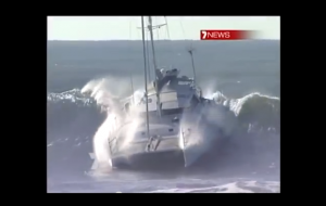
Video – Australian skipper surfs a 46ft catamaran on a huge wave to make it into port
This incredible catamaran surfing video shows the moment Australian skipper Ian Sloan decides to take on the notorious waves of Australia’s Gold Coast to try to make it into harbour.…
Waterproof your mobile: we test new coatings based on nanotechnology
Like it or not, the use of mobile devices in cockpits is commonplace today, yet our prized smartphones and tablets are very vulnerable to water damage. It’s reportedly the number…
Gallery: We take a look at the best pictures from Antigua Sailing Week 2015
For full race results go to: http://www.yachtscoring.com/event_results_cumulative.cfm?eid=1246 Superb pictures have emerged from Antigua Sailing Week this year, where competitors have been enjoying high octane racing in spectacular conditions. This year, the…
Is sailing in Colombia a viable option? Toby Hodges meets the World ARC in Santa Marta
Colombia has an air of mystique about it. Of all the places I’ve been lucky enough to visit, sailing in Colombia certainly aroused the most interest among family, friends and…
16 expert tips on sailing across the Atlantic from the Caribbean to Europe
Heading the other way? Planning to sail to the Caribbean from Europe? Check out our ultimate guide on things to consider before you go… Sailing from Europe to the Caribbean…
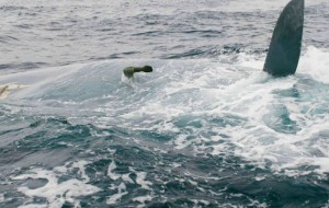
What happened to Cheeki Rafiki? Key findings from the official Marine Accident Investigation Branch report
A series of earlier groundings and the detachment of the internal structure in the area of the keel fastenings are believed to be among the key factors that led to…
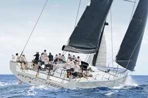
Rambler 88 – a missile in the making? One of the fastest monohulls to launch this season
This has to be one of the coolest-looking racing yachts ever. The out-and-out racing missile Rambler 88 is the second of two of the world’s fastest monohulls to launch in…
MOD70 trimaran Phaedo^3 smashes record for the Pearns Point Round Antigua Race
Race Report: Saturday 25 April 2015 With clear blue skies and tropical heat, the Pearns Point Round Antigua Race was a gentle introduction for close to 40 international teams, racing…
Star-studded entry list for the Royal Yacht Squadron Bicentenary regatta
Entries for the Royal Yacht Squadron’s Solent summer celebration of 200 years, the RYS International Bicentenary Regatta, have reached sixty and still counting, as entries continue to arrive by the…
5 tips: how to avoid a crash gybe from a world champion TP52 sailor
The wind is rising steadily and what has been an exhilarating sail on a perfect day for racing has turned into a battle for survival. As you are braced in…
Antigua Sailing Week 2015 gets off to a blistering start with a new record, and more could fall
As Antigua Sailing Week 2015 gets ready to start this weekend, the 45th edition of the regatta, a record has already been broken by Lloyd Thornburg’s MOD70, Phaedo3. The big…
Get expert offshore cruising advice at World Cruising’s Bluewater Open Weekend
A free open boat weekend for bluewater sailors is being run by ARC rally organisers World Cruising Club at Berthon Boatyard in Lymington on the weekend of 16 and 17…
Wild Oats XI – how mods can keep a nine-year-old racer up to speed
Two themes recurred consistently in interviews with the skippers of the five super-maxis that raced the 2014 Rolex Sydney Hobart: good management and the right people. In both regards the…
Golden Globe 2018 Race round the world is set to recreate a ‘totally retro’ era of epic adventure
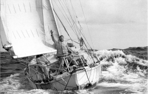
In the 47 years since the first non-stop round the world race, the Golden Globe, races circling the globe have become so numerous the venture seems almost commonplace. So today’s…
Astra Esa smartwatch, a wrist-mounted watch/smartphone/display for those on the move
This is the first smartwatch I have seen that is designed for sailing – and it’s as neat to use as it looks, fusing the sailor’s thirst for gadgetry with…
GT35 boat test – a British design for serious and safe ocean sailing
I tested the GT35 on a grey blustery day, the kind of day the average sailor avoids; only the stalwarts and passagemakers were out with us on the water. But…
CNB 76 boat test – more boat for your money
It may sound daunting, but it seems 60ft is no longer a big boat. In typical Philippe Briand fashion the CNB 76 oozes style and elegance – a powerful hull…
VX One: could this be a modern keelboat class to match the popularity of Flying 15?
I’ll come straight out with it: there are some boats that hit the spot from the outset and for me the VX One is on that list. In fact, I’ll…


