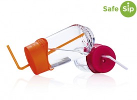
This SafeSip cap allows you to use virtually any drinking vessel without fear of spillage. The UK-made reusable silicone cap stretches over cups, glasses and cans to keep liquids in…
Gear reviews
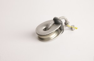
Karver KBO 10 lashing block
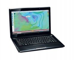
Lashing blocks offer weight-saving, good articulation, no metal-on-metal wear and high strength, so it’s no surprise they are becoming popular. This KBO block is elegant-looking with rounded edges to avoid…
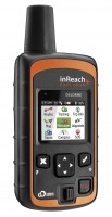
Delorme inReach Explorer
This piece of kit has an impressive array of functions packed into a small handheld device. It is a tracker, it can send and receive text messages via the Iridium…
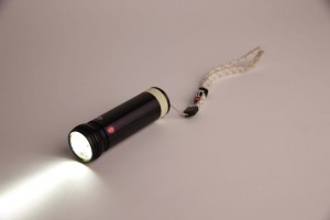
Exposure Marine X2 marine torch
Why would you need a marine torch that costs £200, particularly if it needs recharging rather than using batteries? Although I had been impressed with Exposure Marine’s innovative and extremely…
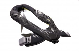
Spinlock Deckvest LITE
The Spinlock Deckvest LITE is one of the best lifejackets I have used, principally because it feels the least cumbersome. I am not going to argue that it’s the best…
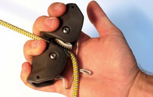
Karver KJH Handle tested
Who’s it for? Any sailor who wants added purchase when hand-pulling a rope of 8mm or less. Tested by Matthew Sheahan
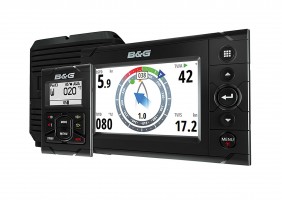
B&G H5000 review – instrument package for all sailors
B&G is the only company that currently produces a range of instruments specifically designed for sailing. It became clear during two days trialling its new equipment aboard three yachts in…
Velocitek Shift tactical compass
The Velocitek Shift is an interesting new product that can help make the decision about when best to tack. It uses changes in compass heading to let you know if…
PROtect Tapes: Skid and LoopX reviewed
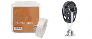
PROtect Tapes specialises in making products to combat chafing, friction, abrasion, scratches, damage, ageing and wear on board boats by working with specialists in polymers, technical films and adhesives, as…
Squid weather software program
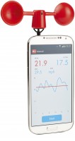
This is an exciting new weather program that collates online weather information. Developed by experienced offshore sailors and navigators, Squid weather software has been designed as a tool to download…
Vaavud Mjolnir Wind Meter for smartphones
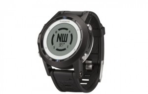
You can stand on the shore and guess, you can log onto the many live weather data sites or you can plug in a set of whirling cups to your…
Garmin Quatix watch
Apart from telling the time, one of the most useful functions on the ground-breaking Garmin Quatix sailing watch is the tidal data, which allows you to find HW and LW…
D Splicer fid and scissors reviewed
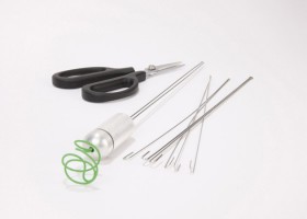
When faced with a splicing job where a fid won’t work I, like most innovative sailors, will reach for a cable tie, or bent wire and electrical tape to find…
Review: Iridium GO satellite wifi
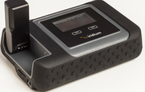
The Iridium GO satellite wifi device is an appealing alternative to a satellite phone is a compact device that functions in much the same way as a MiFi hub for…
Plan2Nav iPad app
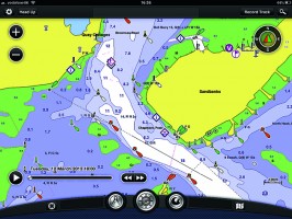
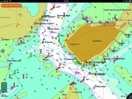
Despite being one of the major players in vector cartography, using the well-established CMaps, the Plan2Nav iPad app is old-fashioned, clunky and slow. We found it short on functions and…
Garmin iPad app
Edit: Feb 2017 – This test is superseded by Garmin BlueChart test by Pip Hare. The Garmin iPad app has big clear buttons and is easy to use –…
iNavx iPad app
Edit: Feb 2017 – This test is superseded by iNavX review by Pip Hare. The ability of the iNavx iPad app to read both raster scanned and vector charts makes…
iSailor iPad app
Edit: Feb 2017 – This test is superseded by iSailor review by Pip Hare. iSailor iPad app has clear, easily viewed charts with optional boxes to display lat and long,…
Memory Map iPad app
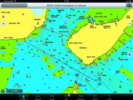
Memory Map’s UK and Ireland charts are scanned Admiralty Hydrographic charts with all their advantages, particularly for anchoring or rockhopping. Simply nothing else beats the fine detail of these…
Navionics HD iPad app
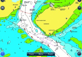
Navionics is the market leader in iPad and iPhone navigation apps. They were one of the first to launch mobile products and the apps are regularly developed and updated.


