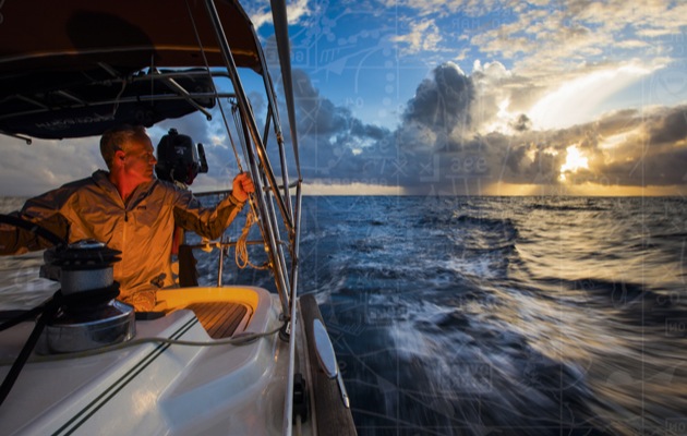
Weather modelling is an ever-evolving process, and the Volvo Ocean Race teams spent a year battling to understand which model is the most accurate in any given geographical region and synoptic weather situation, explains shore-side navigator Anderson Reggio
Vestas 11th Hour Racing is unique in that our sponsor Vestas shared the race team’s obsession with understanding how wind flows around various topographies, and we’ve therefore been fortunate enough to tap into their computing power around the world.
Every team in the race is provided with access to the major global models (GFS, ECMWF, Arpege) as well as high-resolution models in certain areas of the world (HIRLAM and AROME HD in Europe, HRRR in the US, etc.) With all teams having access to the same ‘bucket’ of information, it’s up to the teams themselves to decide which model they will download, with the analysis of that model being done entirely on board in real time.
Any added resources that can be provided to give situational context to the sailors before they set off, could aid them in decision-making on a given leg. But as the onshore navigation and meteo support team for Vestas 11th Hour Racing, we also gained access to high-resolution weather files from Vestas based on historical weather data and a custom Vestas topographical algorithm.

The same area of Newport showing the level of forecasting detail possible using a Vestas 333m grid output
Our chosen spatial scale could then be applied to strategically chosen locations throughout the race. These weather files were part of our pre-leg research presented to the sailing team as another aid to understanding how the wind will shift in pressure and direction if a given weather scenario takes shape.
Additionally, Vestas provided us with real time forecasts during leg starts at a spatial resolution unmatched by most major weather models. Ultra-high-resolution forecasting models were run on Vestas’s super-computer ‘Mindstorm’, which is usually used to run power forecasts, icing forecasts, and extreme weather event predictions for the Vestas turbines and wind parks all over the globe. Running forecasts at these higher resolutions requires significant resources in the form of CPU hours.
Global models such as the GFS and ECMWF are limited by the computing power necessary to churn out a full global output with tradeoffs between time, projection and resolution. The longer a weather model projects forward in time, the wider the scale necessary to achieve an output in a timely manner.
Pinpoint weather
For our leg starts we were only worried about a very small geographic region and for a relatively short duration, so we could scale the resolution of our modelling to an exceptionally high 300m grid and nest that inside broader spatial resolutions of 1km, 3km, and 9km, with each broader geographic scale extending further and further forward in time.
This enabled us to see potential variations in wind speed and direction that may otherwise be missed by the major models at our disposal. The more information you have, the more confidence you can have in the plan when the team leaves the dock.
Any time a new weather model is produced its accuracy is studied intently, and initially there was a healthy dose of scepticism across the team as to whether their custom models were going to be beneficial. That scepticism was quickly erased when the model helped to pick up a key shift in the Mediterranean, which helped us win the first leg of the 2017 Volvo Ocean Race from Alicante to Lisbon.
Article continues below…
Expert tips on understanding shipping forecasts and weather broadcasts
When ashore we get our forecasts from a variety of sources, nowadays largely through the internet. However, unless we have…
Offshore weather planning: the options for receiving weather data at sea
When I skippered a yacht in the first Atlantic Rally for Cruisers (ARC) 30 years ago the weather planning information…
When passing Cabo de Gata we’d been tipped by Vestas modelling that there was potential for a left-hand shift to be gained by being the most inshore boat, and that the land breeze running down slope at night would increase in pressure. There were low risks associated with putting our toe into the bay to see if the shift was present – and sure enough it was, enabling us to sneak around the competition and build a lead that we held to Lisbon.
Ultimately, as the race has progressed, we have worked together to refine the meteorological variables that we want to see within the GRIB files. By the final leg the process was as simple as providing a lat/long grid, and we receive back a link to the next geographic region in which we are interested.
The partnership has had great benefits to both sides. We’ve received information unavailable to our competitors with proven value in points on the scoreboard. Vestas has gained a perspective that it would not normally see in how weather files can be utilised by racing sailors. They’ve received real time feedback from the race team, which in turn helps refine their modelling of coastal environments. It has been a partnership unlike any other in the history of the Volvo Ocean Race.
 About the author
Anderson Reggio is shore-side navigator and performance analyst for the Volvo Ocean Race team Vestas 11th Hour Racing, and was previously a winning navigator for maxis, superyachts and TP52s. He is also a highly sought-after race officer.
First published in the August 2018 edition of Yachting World.


